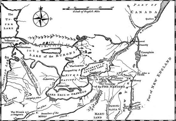
1. This artifact dates back to 1755 and shows the land in the United States where the Iroquois lived during this period.
2. Colden, Cadwallader. "Iroquois", History of the Five Indian Nations Depending on the Province of New-York. Encyclopedia Britannica Online, s. v. Library of Congress, Rare Book Division, Washington, D.C. Retrieved March 08, 2013,http://www.britannica.com/EBchecked/topic/294628/Iroquois/294628rellinks/Related-Links
3. This is a map of the initial nations of the Iroquois Confederacy.
4. The map is to show the location of the land where the Iroquois lived during colonial times.
5. The map enables the reader to see a geographic location and how much land was owned by the Iroquois nation during the colonial times.
